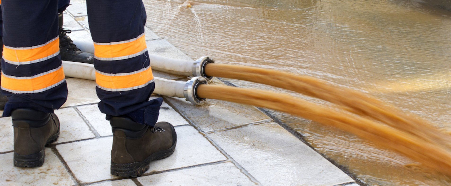
With the devastating floods of the summer of 2021 still fresh in the memory, it is clear: climate change poses many challenges to our country in terms of water policy and flood prevention. With the updated "Watertoets", the flemish government aims to make Flanders more resilient to the consequences of heavy rainfall. From now on you will find all updated data on the new Watertoets in Belmap.
On November 25, 2022, the Flemish Government definitively approved a set of radical changes to the Watertoets Decree and the obligation to provide information. For example, there is an obligation to communicate the officially assessed flood risk when selling or renting a property.
Additional information available
In practice, flood risk is now expressed in 8 parameters, divided into two levels. Both buildings (G-score) and plots (P-score) are assessed based on four potential sources of flooding: pluvial, fluvial, coastal and total risk. Learn more about the new Watertoets here.
Individual scores
The Flemish government makes these scores available for each individual address in Flanders. With Belmap, GIM goes one step further. The new release from June 2023 integrates the scores of all Flemish buildings and plots. Moreover, GIM guarantees automatic updates of these official scores four times a year.
... AND spatial analyses
Via Belmap, owners, insurers, real estate professionals and governments can not only get a quick estimate of the flood risk for each individual address, but also perform large-scale analyses of entire regions.