An in-depth knowledge of the physical characteristics, age and energy performance of buildings is indispensable in order to bring about the electrification and decentralisation of the energy system.
Using Belmap, energy suppliers, utility companies and authorities have a wealth of information to hand in order to shape their energy and climate policies.
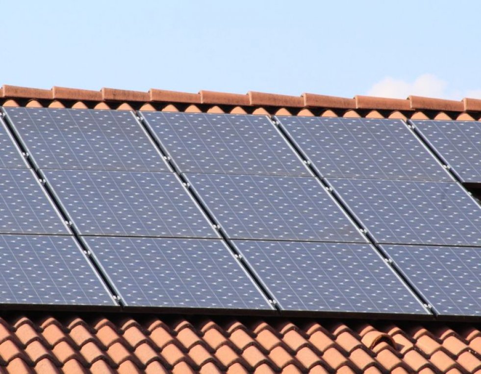
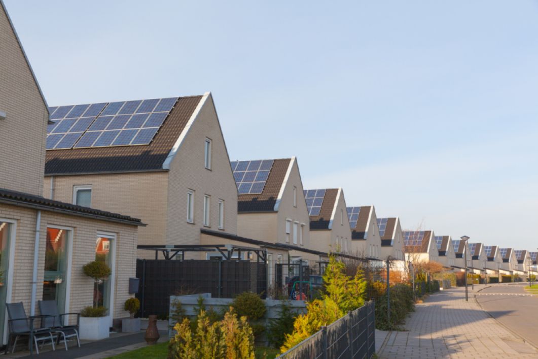
Solar Energy potential
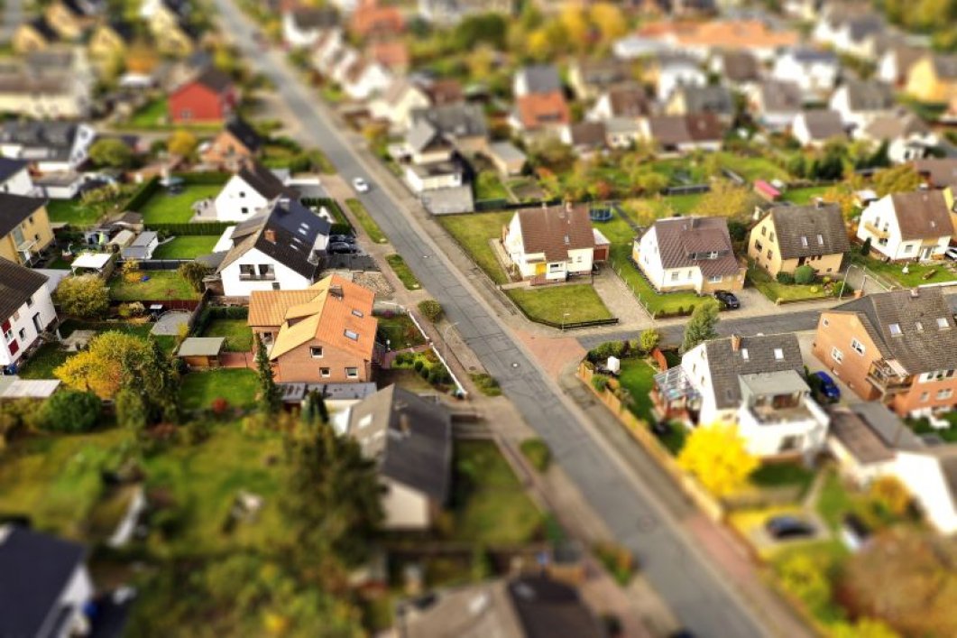
Wanting to identify unused potential for solar energy? Belmap gives you a view on the characteristics of every roof including the type of roof (gable, hipped, etc.) as well as the surface area, orientation, inclination and the presence of obstacles such as roof windows and existing solar panels.
If used in combination with 3D building visualisation, it not only makes it possible to prospect for unused potential, but it also facilitates the handling of online requests for a quotation and the ordering process.
How green energy supplier Nett uses Belmap to identify available rooftops for solar panels >

Electrical Vehicle Chargers
As the cars on our roads are rapidly being replaced with electric vehicles, we are witnessing significant demand for new public and private EV charging capacity. Belmap data, such as Geotype, POI, socio-economics, the potential number of occupants and building use, can therefore be used in order to identify the most relevant locations for public EV charging stations.
As far as private installations are concerned, Belmap's datasets about solar panels, roof characteristics, Geotype, socio-economic factors and gardens make it possible to identify the most suitable locations, to identify addresses with a driveway and to estimate a current or future surplus of electricity.
Energy communities
Belmap can also be used as a Geo Digital Twin in GIM's GeoDesign tool, as a means of facilitating consensus building around energy communities and renewable energy measures.
It also makes it possible to view existing energy production units, energy consumers and storage capacity, to simulate the effect of various future scenarios and to visualise the energy flows.
Heat pumps
It is important to make maximum use of the energy that is available in the groundwater and in the soil.
With Belmap, you are able determine the buildings that offer the greatest potential for geothermal energy, based on the age of the building, its inferred insulation level, any solar panel installations and/or the potential and presence of a (permeable) garden accessible to a drilling truck for vertical installation or with the required surface area in which to install a horizontal loop.
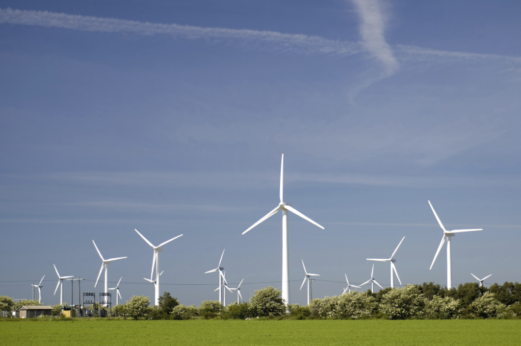
Wind turbine shadow flickering
In our densely populated environment, it is difficult to find locations for new wind turbines, due, in part, to the problem of shadow flickering. Legislation dictates the maximum amount of time that a given shadow flicker receptor (window) can be subjected to shadow flickering during a year.
Knowing exactly where buildings are located on a three-dimensional level is extremely relevant when carrying out a viability analysis and when undertaking environmental permit studies and the operational management of a wind turbine. Wind turbines are programmed with the locations of the shadow flicker receptors and are stopped when the shadow flickering thresholds per receptor would be exceeded and would have an effect on the profitability of the project.
Energy renovations
The most sustainable energy is the energy that is not consumed. Energy renovations play a key role in enabling us to achieve our CO2 emission objectives and reduce our energy demands.
Belmap's building age, building use, building type and building roofs datasets can therefore be used to identify the most suitable prospects for (large-scale) energy renovations.
Thermal Grids
Thermal grids exchange energy in the form of heat or cold between producer(s) and suppliers. While existing heat grids mainly use residual heat at high temperature, newer grids are able to operate at lower temperatures, thereby increasing the applicability of thermal grids.
Belmap can therefore be used in order to prospect for the zones that offer the most potential and design the optimum network with minimal trenching costs.
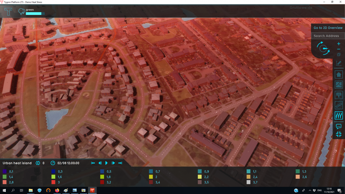
Climate change
Belmap is the ideal 3D base layer that can be used in conjunction with GIM's Geo Digital Twin Simulation platform which models climate change challenges, such as heat stress, liveability, flood risk and CO2 emissions, to a high level of detail.
What is more, government authorities and city planners can predict the effect of measures, such as the planting of new trees, the insertion of new buildings or redevelopments, on the public domain.